
What are the new technologies in drone navigation?
Introduction
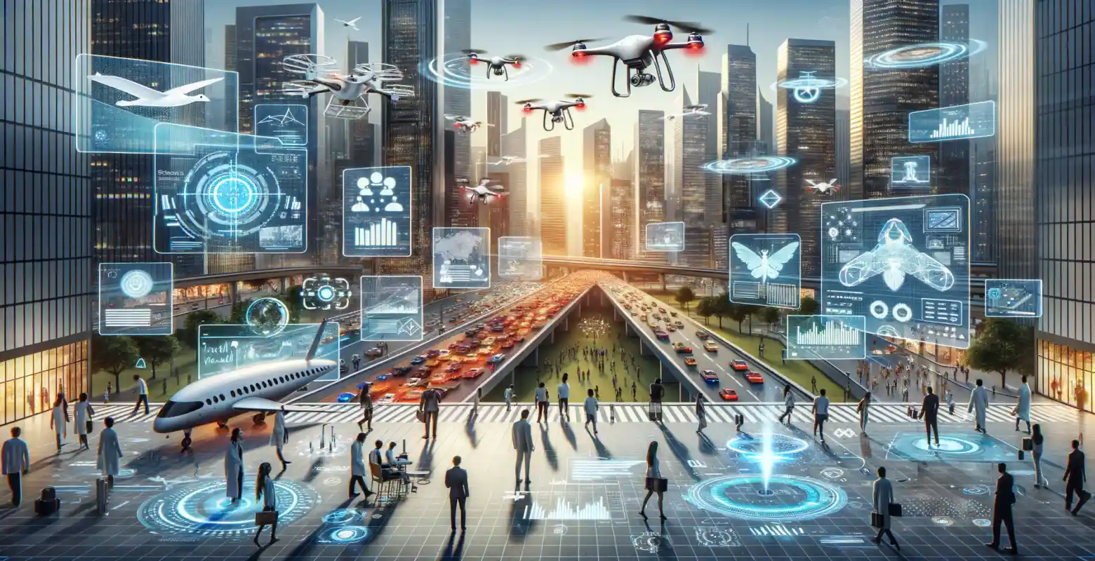
In today's world, drones have become an integral part of our daily lives and professional applications in many industries. From photography and filming, through infrastructure monitoring, to package deliveries - the applications of drones are almost limitless. The key element that enables their effective operation is advanced navigational technology. In this article, we will take a look at new technologies in drone navigation that are revolutionizing the way these devices move in airspace. We will discuss the latest innovations, their applications, and future trends.
GNSS Technology and Its Development
Global Navigation Satellite System (GNSS) is one of the fundamental technologies used in drone navigation. GNSS enables precise determination of the drone's position based on signals from satellites. Systems such as GPS (Global Positioning System), GLONASS, Galileo, or BeiDou provide necessary location data used for flight planning and execution.
In recent years, GNSS technology has undergone significant development. Enhancements include increased precision through the use of additional satellite channels and integration with other technologies such as RTK (Real-Time Kinematic) or PPP (Precise Point Positioning). RTK allows achieving centimeter-level accuracy, which is crucial in applications requiring high precision, such as geodesy or precision agriculture.
SLAM Technology
SLAM (Simultaneous Localization and Mapping) is an advanced technology that allows drones to autonomously create maps of the environment and determine their position within it. Drones equipped with SLAM can navigate in environments where GPS signal is unavailable, such as indoor spaces or dense forests.
SLAM systems combine data from various sensors, such as cameras, lidars, or radars, to create real-time 3D maps of the surroundings. This enables drones to avoid obstacles and plan routes, even in dynamically changing environments. SLAM is particularly promising in applications related to rescue operations, where drones can search difficult-to-access areas for missing individuals.
Utilizing Artificial Intelligence in Navigation
Artificial Intelligence (AI) plays an increasingly significant role in drone navigation. AI algorithms are used to analyze sensor data and make real-time decisions. With AI, drones can learn and adapt to changing environmental conditions, enhancing their autonomy and efficiency.
For example, drones using machine learning can recognize objects and individuals, which is useful in monitoring and security applications. Furthermore, AI allows for optimizing flight routes, leading to energy savings and increased drone range. In the future, AI development can further enhance the capabilities of autonomous drones, enabling them to carry out more complex missions without human intervention.
Integration with Cloud and IoT
Integrating drones with cloud technologies and the Internet of Things (IoT) opens up new possibilities in drone navigation and fleet management. Drones connected to the cloud can continuously transmit and receive data, enabling remote monitoring and control. This is particularly important in commercial applications where managing multiple drones can be complex.
IoT enables integration of drones with other devices and systems, allowing for comprehensive solutions in automation and data analysis. An example is precision agriculture, where drones monitor crops, and the collected data is analyzed in the cloud, optimizing production processes.
Challenges and Future of Drone Navigation Technologies
Despite the dynamic development of navigation technologies, there are challenges that still require solutions. One of the main issues is safety and legal regulations regarding the use of drones in airspace. Introducing drones into airspace requires the development of new standards and procedures that ensure safety for both drones and other airspace users.
Drone navigation technology is still evolving, and the future will bring further innovations. We can expect further development of AI technology, enabling drones to perform more complex tasks. Additionally, integration with advanced communication systems, such as 5G, can increase the range and reliability of drone communication with the control center.
Summary
New technologies in drone navigation not only increase their efficiency and autonomy but also open up new application possibilities in various industries. With innovations such as advanced GNSS systems, SLAM, artificial intelligence, and integration with cloud and IoT, drones are becoming increasingly versatile and reliable.
Understanding and adapting these technologies are crucial for businesses and organizations looking to utilize drones in their operations. As technology continues to develop, we can expect even greater integration of drones in our daily lives as well as in commercial and industrial activities.


Number of comments: 0