
D
E
L
A
Y
E
D
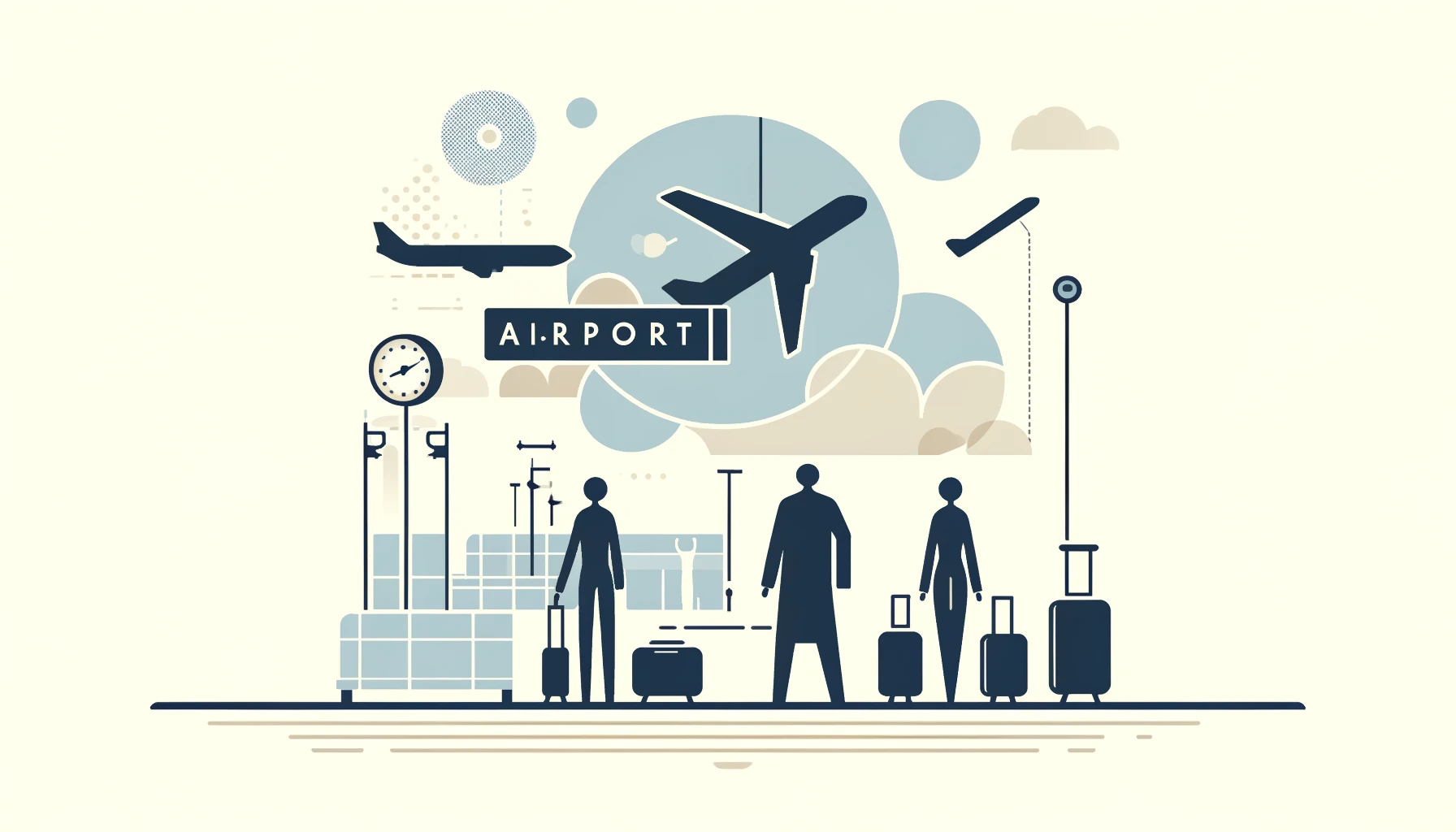
Garfield County Regional Airport is a public airport located in western Colorado, just 3 miles southwest of Rifle. Situated in the heart of the stunning Rocky Mountains, this airport serves as a key transportation hub for the region, offering a range of services to both commercial and general aviation users.
The airport covers an area of over 700 acres and boasts a single asphalt runway, designated as 14/32, which is 6,568 feet long. This well-maintained runway can accommodate a variety of aircraft, making it a convenient choice for travelers heading to or from the area.
Garfield County Regional Airport is equipped with a full range of amenities and services to ensure a pleasant experience for passengers. The terminal building provides modern facilities, including ticketing counters, baggage claim, and rental car services. Additionally, there is ample parking available for both short-term and long-term stays.
For those utilizing the airport for general aviation purposes, there are several fixed-base operators (FBOs) on-site offering a range of services such as fueling, maintenance, and hangar space. Pilots and their passengers can also enjoy amenities like pilot lounges, flight planning facilities, and courtesy cars for transportation.
One of the key advantages of Garfield County Regional Airport is its strategic location amidst the natural beauty of the Rocky Mountains. Travelers arriving at or departing from the airport are treated to breathtaking views of the surrounding landscape, making for a memorable and picturesque experience.
In addition to serving as a vital transportation link for the community, the airport plays a significant role in supporting local economic development. By facilitating access to the area for businesses and tourists alike, Garfield County Regional Airport contributes to the growth and prosperity of the region.
Overall, Garfield County Regional Airport is a well-equipped and efficient facility that serves as a gateway to the scenic wonders of western Colorado. Whether traveling for business or pleasure, passengers can look forward to a seamless experience at this friendly and convenient airport.