Skip to content
Delayed.pl
Back to Airports Base
K26A

Ashland/Lineville Airport

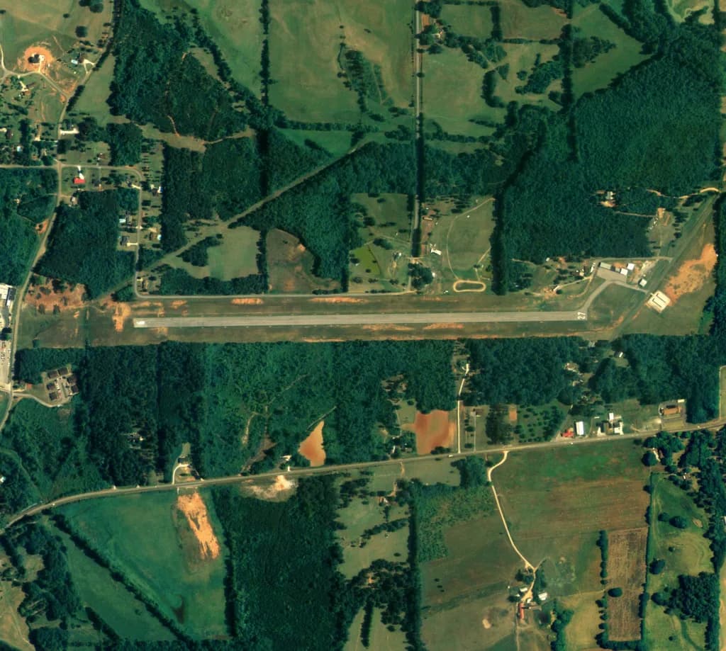
Aerial view of Ashland/Lineville Airport airport infrastructure
Photo: United States Department of Agriculture (USDA), Farm Services Agency · Public domain · Wikipedia
Currently no detailed description available for this airport.
Runway Geometry and Location

Inicjalizacja modułu map satelitarnych...

Current Airport Weather

13°CWMO Code: 53
Wind: 19.8 km/h

Technical Specifications

Object Type
Small Local Airport
Elevation above sea level
1065 ft
Scheduled flights
No
Coordinates
33.284207, -85.80863
GPS Code
K26A
IATA Code
—

Radio Frequencies (COM)

  • CTAFCTAF
    122.900 MHz